There are ten types of clouds in the basic classification, and every one of them can be named from the ground without knowing how high it is. Shape gives you the family, the size of the cloud’s elements against your own hand separates the three that look alike, and the ring around the sun settles the rest.
The table below lists all ten with the test that identifies each, followed by the naming system that makes the list memorable and the four pairs that cause nearly every mistake.
The Ten Types of Clouds
The last column is the single most useful identifying feature of each type, rather than a full description.
| Cloud | Level | Shape | What identifies it |
|---|---|---|---|
| Cirrus | High | Wispy ice filaments | Barely dims the sun when it crosses it |
| Cirrocumulus | High | Fine grains or ripples | Elements narrower than a little finger |
| Cirrostratus | High | A transparent veil | Puts a halo round the sun almost every time |
| Altocumulus | Middle | Rounded masses and rolls | Elements one to five degrees wide |
| Altostratus | Middle | A striated grey sheet | Sun visible as if through ground glass |
| Nimbostratus | Middle | A dark rain layer | Thick enough to blot the sun out |
| Cumulus | Low | Detached cauliflower heaps | Sharp outlines, dark flat bases |
| Cumulonimbus | Low | A tower with an anvil top | The only one that makes hail and tornadoes |
| Stratocumulus | Low | Grey honeycombed rolls | Elements wider than three fingers |
| Stratus | Low | A featureless grey layer | Fog is this cloud sitting on the ground |
Three of the ten are the ones people actually struggle with: cirrocumulus, altocumulus and stratocumulus are the same pattern of rounded elements at three different heights, and they are the reason the hand measurement further down exists.
Start With the Name, Not the Height
Cloud names are built from five Latin roots, and each root describes one thing. Learn the roots and you can decode a name you have never seen, and build the right name from what you are looking at.
| Root | What it means | Types that use it |
|---|---|---|
| Cirro- | High and wispy | Cirrus, cirrocumulus, cirrostratus |
| Alto- | Middle level | Altocumulus, altostratus |
| Strato- or -stratus | A flat layer | Stratus, stratocumulus, altostratus, cirrostratus |
| Cumulo- or -cumulus | A heap | Cumulus, cumulonimbus, altocumulus, cirrocumulus |
| Nimbo- or -nimbus | It is raining | Nimbostratus, cumulonimbus |
Altostratus is a mid-level flat sheet. Cumulonimbus is a heap that is raining. Cirrocumulus is a high heap. The names are descriptions, not labels, which is why there is no list to memorise once the five roots are in place.
One root is a trap. Alto means high in Latin, but in cloud naming it marks the middle level. It is used that way only to distinguish these clouds from their low-level counterparts, so altocumulus sits below cirrocumulus despite the name.
Measure the Elements Against Your Hand
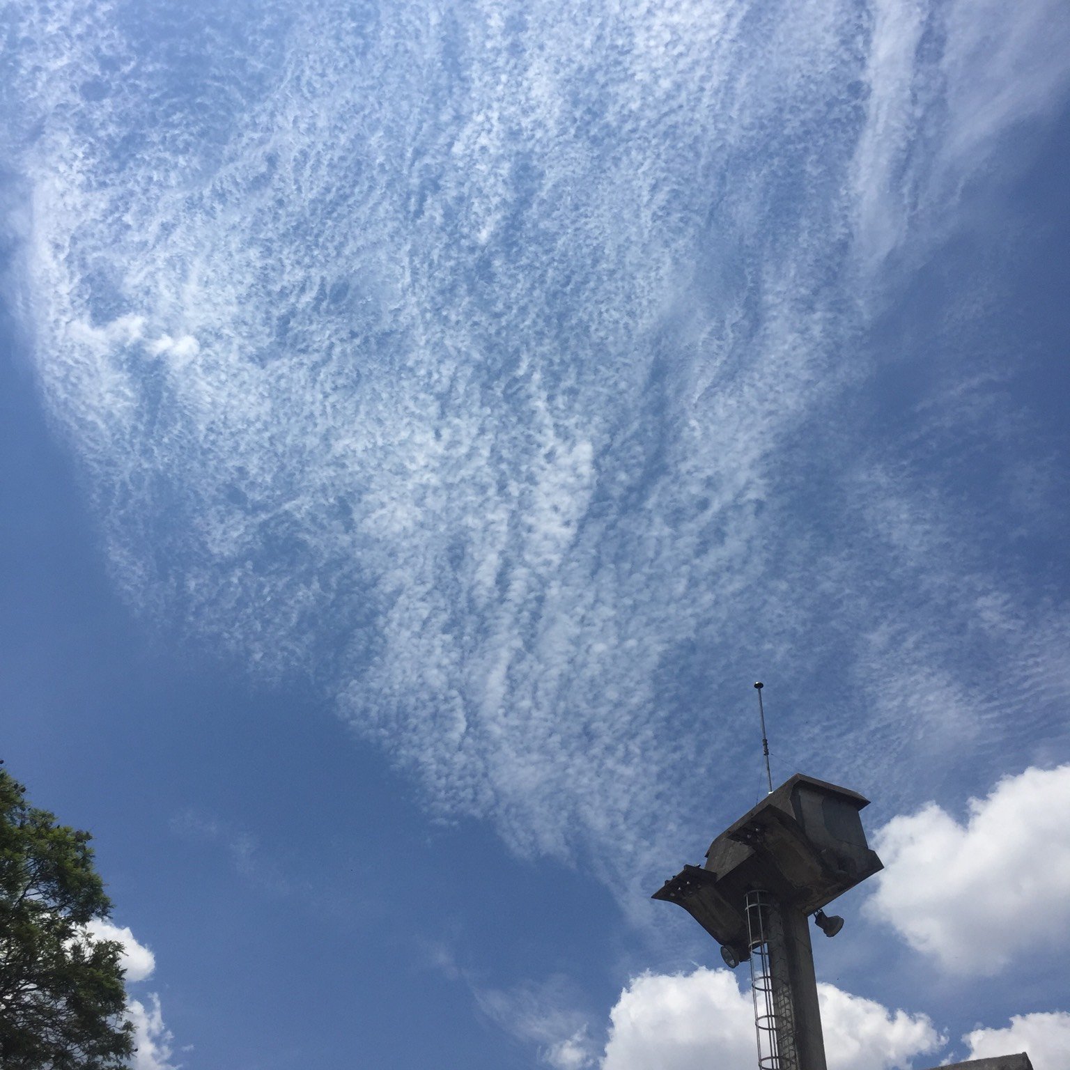
Cirrocumulus, altocumulus and stratocumulus all appear as patches of rounded elements. They are distinguished formally by the apparent width of a single element, and the official reference measures that against fingers held at arm’s length.
| Element width at arm’s length | Angular size | Cloud type |
|---|---|---|
| Narrower than a little finger | Under 1 degree | Cirrocumulus |
| Between a little finger and three fingers | 1 to 5 degrees | Altocumulus |
| Wider than three fingers | Over 5 degrees | Stratocumulus |
Hold your arm straight out and compare one grain, ripple or roll against your fingers. It works because an outstretched hand subtends roughly the same angle for almost everyone, tall or short, since longer arms come with larger hands.
This is the only one of the identification tests that gives you height indirectly. Smaller elements mean a more distant cloud, and a more distant cloud is a higher one.
Read the Ring Around the Sun
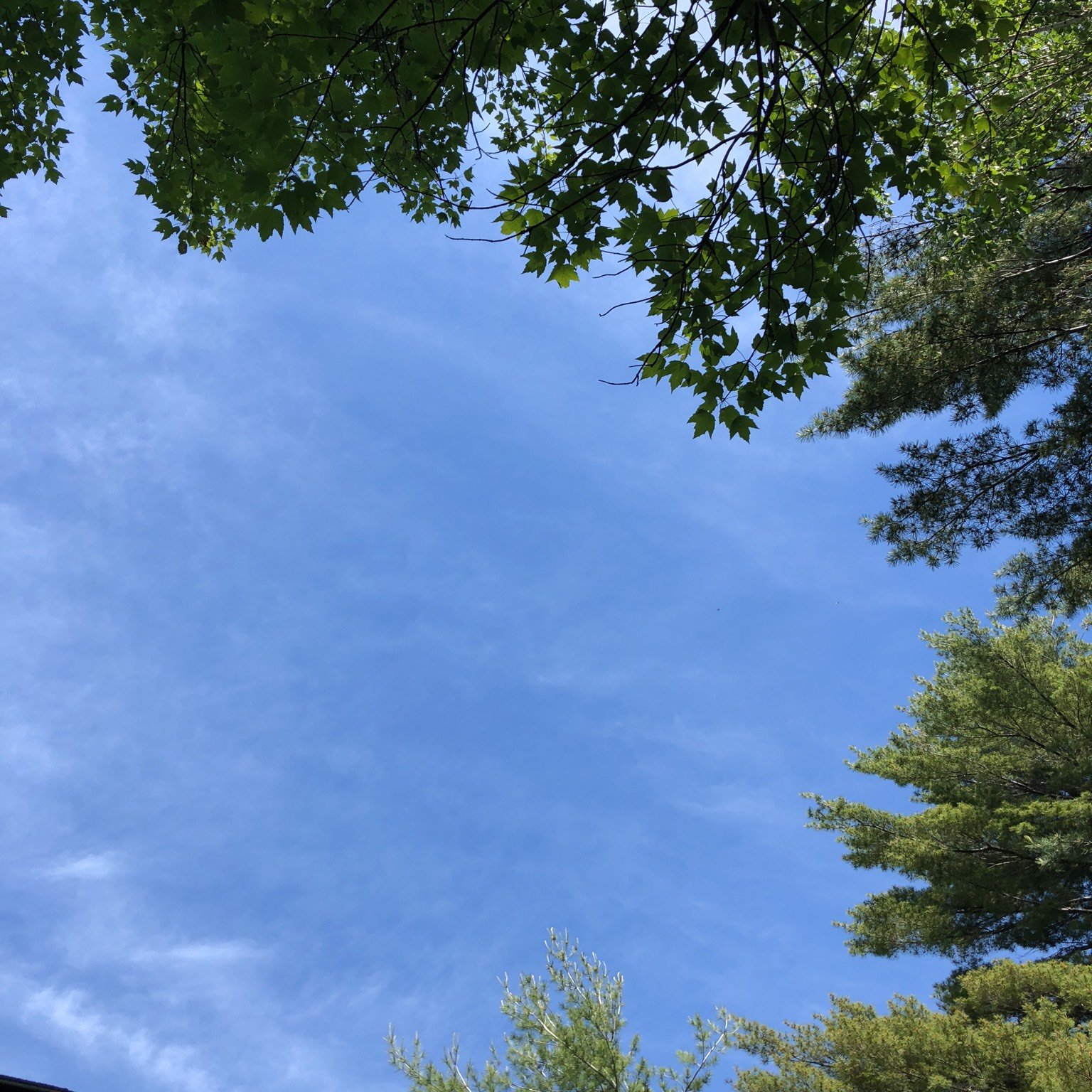
Thin layered clouds are hard to tell apart by appearance because they all look like a grey or white wash across the sky. What separates them is what they do to sunlight.
| What you see | Description | Cloud type |
|---|---|---|
| Halo | A ring at a fixed distance from the sun or moon | Cirrostratus |
| Corona | A small coloured ring, red outside and blue inside | Altocumulus |
| No halo, no shadows | The sun is a bright patch with no edge | Altostratus |
| No sun at all | The disc is completely hidden | Nimbostratus |
A halo is produced by ice crystals and sits at a fixed angle from the sun, which is why it is always the same size. A corona is produced by water droplets and sits close to the disc, which is why it is small and coloured. One tells you ice and height; the other tells you water and middle level.
Cirrostratus has a second tell. However thick the veil looks, it never stops objects on the ground casting shadows. Altostratus does, which is the cleanest way to separate the two when there is no halo to see.
Clouds That Look Alike
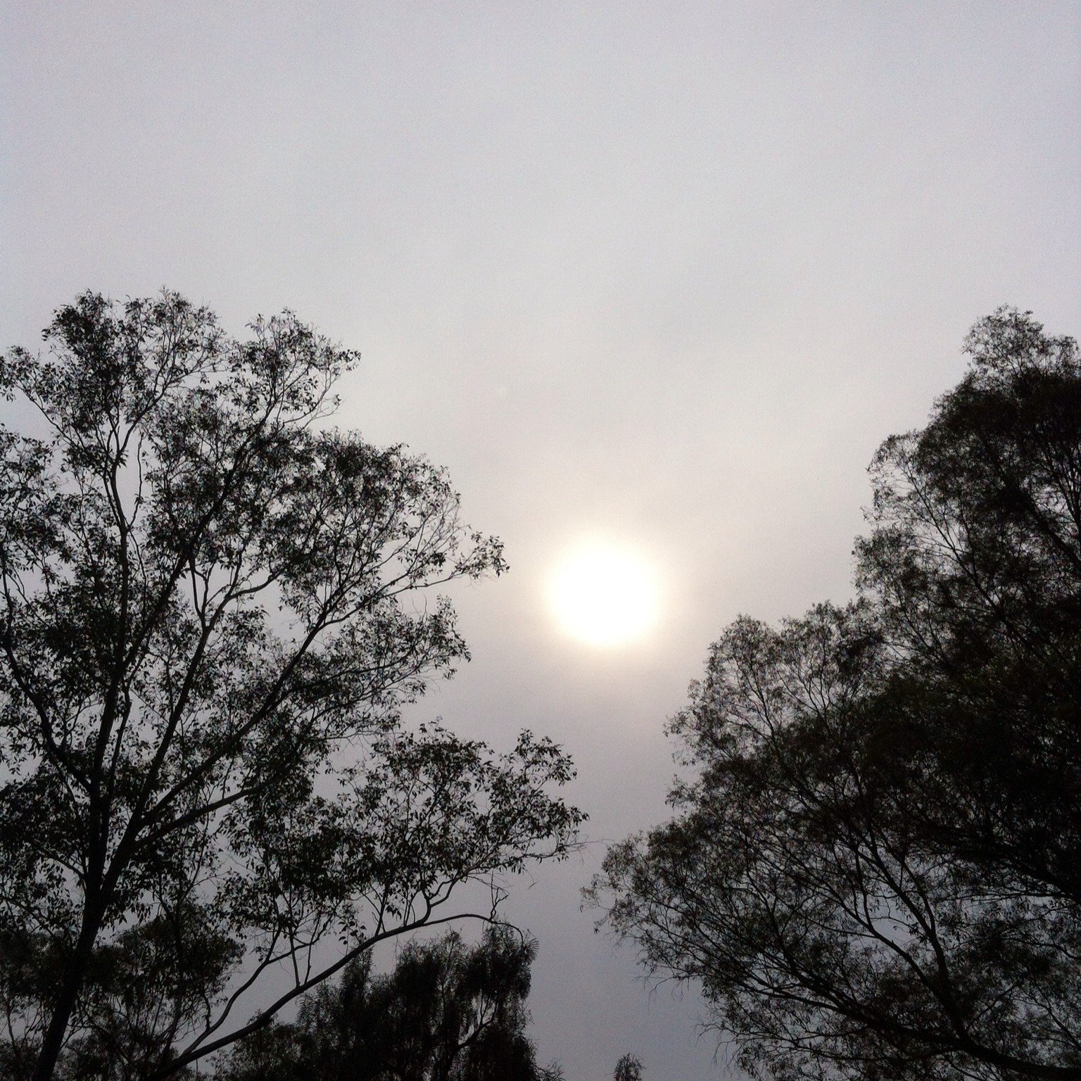
Six pairs account for most misidentifications. In each case there is one test that works from the ground and does not require judging altitude.
| Pair | The test | What it tells you |
|---|---|---|
| Cirrostratus and altostratus | Look for a halo | Only cirrostratus makes one |
| Altostratus and nimbostratus | Look for the sun | Nimbostratus hides it completely |
| Stratus and fog | Look at the base | Fog is stratus touching the ground |
| Cirrocumulus and altocumulus | Measure an element | Under one degree means cirrocumulus |
| Altocumulus and stratocumulus | Measure an element | Over five degrees means stratocumulus |
| Cirrus and a spreading contrail | Look for a straight edge | Contrails start as lines |
Judging height directly is the mistake almost everyone makes first. A cloud has no reference object next to it and no fixed size, so the eye has nothing to scale it against, and every test above is designed to avoid the problem rather than solve it.
Which Clouds Bring Rain
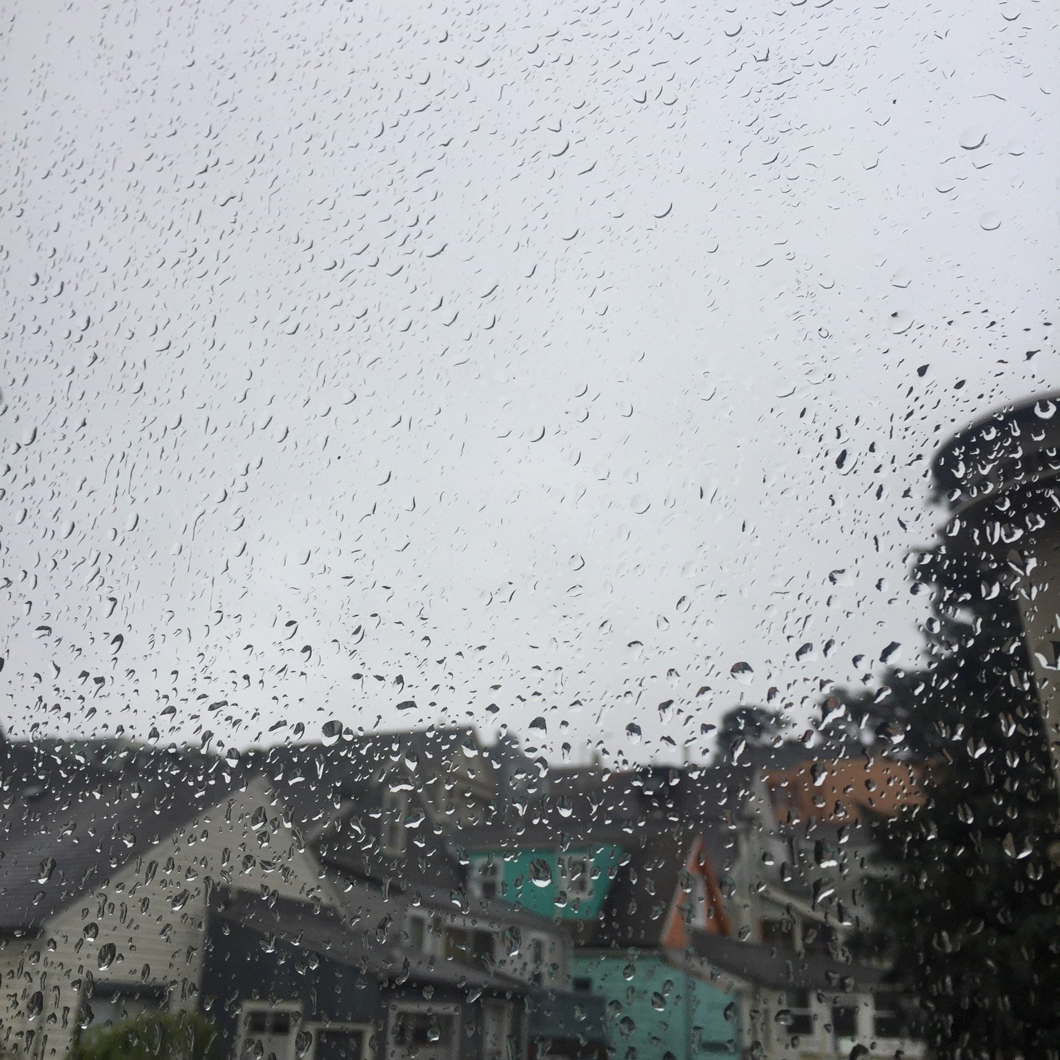
Precipitation comes primarily from three of the ten: cumulus, cumulonimbus and nimbostratus. The rest either produce nothing or produce something that never reaches the ground.
- Nimbostratus brings steady rain or snow. It forms when altostratus thickens, and its base lowers as the precipitation continues.
- Cumulonimbus brings storms. It is the only cloud of the ten that produces hail and tornadoes, and low ragged clouds usually form beneath its dark base.
- Cumulus brings showers once it grows. A fair-weather cumulus produces nothing; the same cloud built into a tower produces a downpour.
- Stratus brings drizzle, ice prisms or snow grains. Light, fine, and only when the layer is thick enough.
- Altostratus brings virga. Streaks of rain hang below it and usually evaporate before landing, though at times they do reach the ground.
Virga is the reason a sky can look like it is raining while the pavement stays dry. The streaks are real precipitation; they simply evaporate in the dry air below the cloud base. A radar layer shows the difference clearly, which is one of the things that separates the best weather apps.
The Sequence That Warns of a Warm Front
Clouds are more useful read in order than one at a time. An approaching warm front produces a reliable sequence over a day or so, and each stage is one of the ten.
- Cirrus first. Thin filaments appear high up, often while the sky is otherwise clear and the weather is still fine.
- Cirrostratus follows. The filaments merge into a veil and a halo appears around the sun or moon.
- Altostratus next. The veil thickens and lowers, the halo disappears, and the sun becomes a bright patch with no outline.
- Nimbostratus last. The layer thickens until the sun is gone entirely, and steady rain or snow begins.
The whole sequence is one cloud deck thickening and lowering as the front approaches, which is why the four types appear in that order and never the reverse. Seeing a halo after a clear morning is a genuine forecast you can make with no instrument at all.
The 27 Classifications Behind the Ten
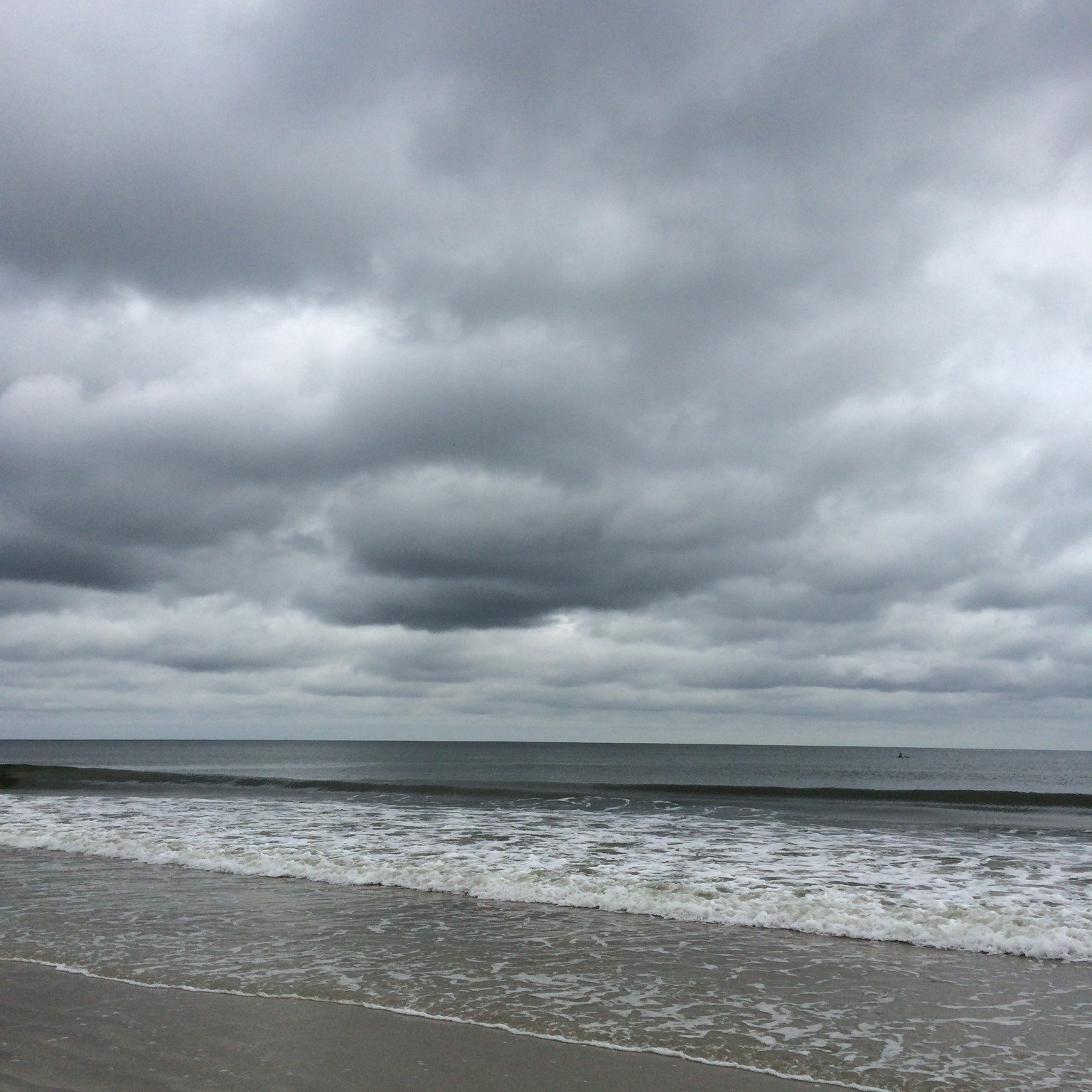
The ten basic types are only the top level. They are subdivided into 27 classifications, many of which describe the same basic cloud at a different stage of development, opacity or sky cover.
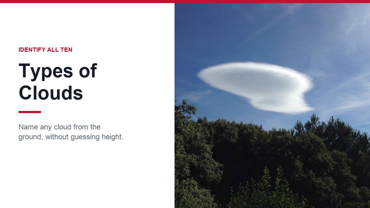
- Species describe shape and internal structure, such as the lens-shaped lenticularis that forms downwind of a mountain.
- Varieties describe arrangement and transparency, such as undulatus for a rippled layer or radiatus for parallel bands.
- Supplementary features hang off a cloud rather than forming it, such as the pouches of mammatus or the shelf of arcus at a storm’s leading edge.
- Accessory clouds attach to a parent, such as the ragged fractus that forms under a raining base.
None of these changes the basic identification. A lenticular cloud is still an altocumulus; a mammatus display is still the underside of a cumulonimbus. The extra name describes what the cloud is doing, not what it is.
Contrails are the one modern addition. They begin as straight lines of condensation behind an aircraft, which is how a long-haul jet such as the Airbus A380 marks its own cruising level, and on a humid day they spread sideways until the sky looks naturally overcast with cirrus.
Frequently Asked Questions
What are the main types of clouds?
Ten: cirrus, cirrocumulus and cirrostratus high up, altocumulus, altostratus and nimbostratus in the middle, and cumulus, cumulonimbus, stratocumulus and stratus low down.
How do you identify a cloud without knowing its height?
Use shape for the family, then measure one element against your fingers at arm’s length to separate cirrocumulus, altocumulus and stratocumulus, then look for a halo or a corona around the sun to separate the thin layered types.
What does a halo around the sun mean?
Cirrostratus, a high veil of ice crystals. It often means a warm front is approaching, because cirrostratus is the second stage of the sequence that ends in steady rain.
Which cloud is the biggest?
Cumulonimbus. It is classified as a low cloud because its base is low, but a mature one extends through the middle level and well into the high level above it.